Monday, July 30, 2012

Salida to Montrose

Its picture time! I don't have a whole lot of time to write up a narrative, but I do have a lot of pictures to share from the last few days.

After spending the better part of the day in Salida, I restocked on supplies and headed west on 50. It was late by the time I left town, so I opted out from a ride over a pass and dinner with Bobi and friends/family in favor of riding a few miles and a campsite by the south fork of the Arkansas.

The view from my campsite
The campsite of dreams
6 miles at 6% grade- you do the math
I passed a mining district on my way up- it was huge
As I gained elevation, the plant life changed dramatically
Moss blanketed everything about 10,000 feet
That's a thing
I got myself an ice cream cone to celebrate
My bike got another sticker
Looking East

Looking West

I don't have any pictures of the descent- for obvious reasons. It was fun though- an effortless 30-38 mph for approximately 8 miles.

The land smoothed out, though the elevation was still near 8000 feet
Thunderstorms were to the right and left of me, though luckily I managed to avoid them
Two red foxes were playing near this pen. Only one is visible in this photo
Gunnison!
A band was playing in the public park- I listened for a few songs before heading on
I camped in the bed of a partially dried out reservoir
I think it was about 25 feet below full
I wish I could do the landscape justice in photographs
I LOVE these signs
I rested for a while at the top of one climb
... and shortly arrived at another
Montrose!
I'm now sitting in the Horsefly Brewing Company. They have $1 tacos on Mondays, so I'm availing myself of that special and having a couple of beers in the process. Jeremy Kester and a friend of his are riding into town as I write this, and I'll ride back with them to the farm where Jeremy works. Once there, I'll rest up and work around the farm until I figure out what I'm doing and where I'm going next.

Sunday, July 29, 2012

2000 miles and an 11312 foot pass in one day! I've crossed the divide, and its (mostly) downhill to Montrose from here.

Saturday, July 28, 2012

Colorado- it begins

Once again, its been a long time since a proper blog update. I've many stories to tell from the road in Oklahoma and Kansas, but they will have to wait. Why? Because I am in Colorado, and I'm more fascinated by and excited about mountains than anything else so far on this trip.


It begins- 7/24/12
I'm taking hwy 50 pretty much all the way across CO, and it follows the Arkansas river closely, especially as it gets closer to the mountains. In wetter times, the river is apparently prone to flooding, so the little towns along the plains have levees to keep the river off main street.

Levees at 5000 feet. As for the spiky things, I have no idea
The river is almost entirely dry near the Kansas border, so I slept one night in the riverbed between the highway and the train tracks.


The river has so little flow at this point that it couldn't float a kayak
As I neared the mountains, I began to see cumulus clouds again. For most of my ride through Oklahoma and Kansas, the skies were clear.

Weather! These storms put on a good lightning show one night
I'd originally intended to stay in the Pueblo area for a day to rest up, but upon examining a topo map, I saw that major climbs would not occur until after Salida, almost 100 miles further along the road. So I passed through Pueblo in 30 minutes and didn't look back.

This is what I saw of Pueblo
And this is what I saw leaving Pueblo

The mountains rise abruptly from the plains
There aren't many good places to camp on the plains, so I ended up riding a little farther than I'd intended that day- 111 miles took me all the way to Canon city, where I camped in a creek bottom on the edge of town.

This wasn't nearly as secluded as the picture suggests- I had a clear view of 50 from my hammock
Canon City is pretty much the gateway to the mountains- I left town and immediately began climbing.

Downtown Canon City
Unlike most rivers, the Arkansas gets bigger as one goes upstream. All through the mountains the river is large enough to support a whitewater rafting industry- I lost count of the vendors I passed as I rode West on 50.
Following the Arkansas River into the mountains

I encountered my first rainstorm in over 1000 miles as I rode up 50. It was cold- I rapidly became chilled and my knees began to hurt, so I pulled over and rested at a little country store in Cotopaxi. The girls who ran the place let me warm up over the grill and rest there while waiting for the rain to let up. Two cups of coffee and a hamburger later, the rain was mostly done and I resumed my journey.

Rain at 6000 feet
Safe haven from the storm
Some miles later, I encountered a first on my journey: I was refused water! I stopped at a little general store and asked if I could fill my water bottles, only to be told that there were no taps I could use. I asked if I could fill them in the bathroom and was told "we don't have a public bathroom". At some point it became clear that the lady wasn't going to let me have water no matter how nicely I asked, so I rode a couple of miles on to the next store to get my water. Anyway, if you are ever driving along 50, be sure to give this place my regards.

Here be the inconsiderate
I didn't quite make it from Canon City to Salida in one day- my knees were hurting and I was tired, so I camped on BLM land about six miles outside of town.

About 200 yards upslope from 50
I know that slope doesn't translate well into photos, but that was STEEP
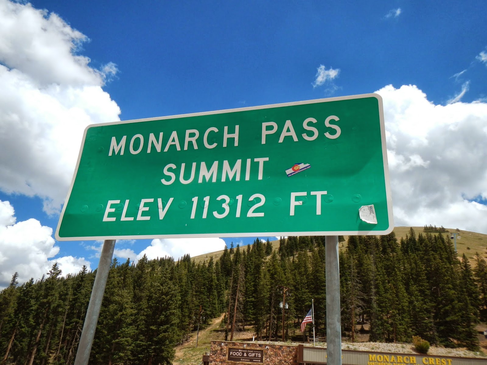
Today I rode into Salida, and I might be a little bit in love with the place. Half the downtown is closed off for a bike race, everyone is either riding bikes, walking, or roller blading, and the downtown park is gorgeous.

I agree with the sign
Possibly my new favorite town
I stood on the riverbank to take this photo
Beer and pizza for lunch with a bike race for entertainment
I finally picked up some hiking shoes
I'm writing this post from the Salida public library. I met a lady named Bobi at the local bike shop who invited me to join her friends and family for diner up in the mountains later on. I was planning to relax around town, but if I can motivate myself to ride up into the mountains and over a 9000+ foot pass, I may go join them this evening.

Friday, July 27, 2012

Current location: Ca_on City, elev. 5300 feet. Miles ridden: 111. Physical state: extreme exhaustion. Campsite: some hobo camp in a half burned up creek bottom.

Wednesday, July 25, 2012

I'm well over 1700 miles as of today and should hit 1800 tomorrow. The plains rise steadily as I ride west- I'm at about 4000 feet right now.
72 miles today. I'm 75 miles from Pueblo and plan to reach it day after tomorrow. Taking it easy before I hit the mountains, which I saw on the horizon today.
Yesterday I passed a hitchhiker shortly after entering Colorado. Today, I met that same hitchhiker at a gas station and we conversed for some time.

Tuesday, July 24, 2012

64 miles today. I'm camped in the riverbed of the Arkansas river tonight- it is easily my prettiest campsite yet.
Colorado!! Tailwinds again at last! Also, I just saw my first prairie dog colonies.
I'm not yet to Colorado but I did just enter the mtn standard time zone. About 28 more miles to go to Colorado.
I'm riding west on hwy 50 into a strong headwind. Averaging only 8 mph. Its going to be a long hard day if I want to make it to CO before tomorrow.

Monday, July 23, 2012

91.3 miles today. Tonight I'm sleeping under a bridge in the bottom of a dry irrigation ditch. Nowhere to hang my hammock, but at least the dirt isn't too hard
"You will obtain your goal if you maintain your course"- fortune cookie from a chinese place whose buffet I just demolished.
1600 miles. I'm riding through corn and soybean country- endless miles of irrigated fields. Should make it through Garden City this evening.
While eating breakfast at a little Mexican place in Liberal I was introduced to menudo by J.J. Moreno, a traveling marketing specialist in from Texas. Its good!

Sunday, July 22, 2012

Where I've been in MapMyRide

I just mapped out my trip thus far. Check it out here!! I'll be updating the route periodically to reflect my progress.
Towns in this part of the world have clearly defined edges. I just walked to the edge of Liberal and am looking out over the plains to the East.

Saturday, July 21, 2012

'round Ft. Worth

Heading North from Cleburne on 171 I stopped for lunch at Del Norte Tacos in Godley. The place was pretty awesome, both from a food and atmosphere standpoint. Its only about 30 miles outside of Fort Worth too, so if I'm ever in that part of the world again I'll try to drop by and get more delicious bbq.


The country really opened up a lot around this point, and for the first time on the trip I really felt like I was in alien territory. I suppose it was probably spillover from the nearby cities, but the amount of wealth on display in the form of huge, ornate gates, fences, statues, ranch houses and trucks was kind of disorienting when compared with the relatively impoverished rural regions I had been riding through.

I need a panoramic camera
The natives in these parts like their lawn ornaments large

I'm sure plenty of people want pictures of the culvert I slept in that night, so here it is.

I guess you could call it a low point in the trip
After culvert night, I rode up through the LBJ National grasslands, which proved to be such a waste of time that I didn't even get any pictures, and on through Bowie where I think I ate at a Subway before moving on. I enjoyed a lovely tailwind heading north on 81, and camped beside a train trestle a few miles from the Red River.


Ranging out from Waco

So, it turns out that internet is hard to find in rural Texas and Oklahoma. Who would have thought it? I've got a lot of catching up to do, so I'll try to break things up into a couple of posts.

After leaving Mexia, I rode on to Waco where I obtained a replacement tire at Outdoor Waco. Most of Waco that I saw was a little on the run down and scruffy side, but the downtown section on the river was pretty nice- a number of little shops and green spaces gave it a good feel. The people were super nice as well- everyone in Outdoor Waco was friendly and I ended up hanging around and chatting for a while with Trinity, the shop manager for a while after I got my tire changed.

I'm glad this place exists
This is one of the nicest footbridges I've ever seen
Someone really doesn't like Planned Parenthood. Surprise surprise


I didn't get very far outside of Waco before stopping for the evening- I was tired and didn't know when I'd find the next decent place to camp, so I jumped at the opportunity to camp in a little creek bottom a few miles north of town.


The next day I continued on through small towns and backroads.
This place is the one stop for everything in Flynn
A day or so north of Waco, the country really began to open up
I had some difficulty finding campsites from this point on, but I lucked out two days out from Waco and found a really nice campsite on some floodplain outside of Cleburne.

This picture really doesn't do the campsite justice- it was super nice.